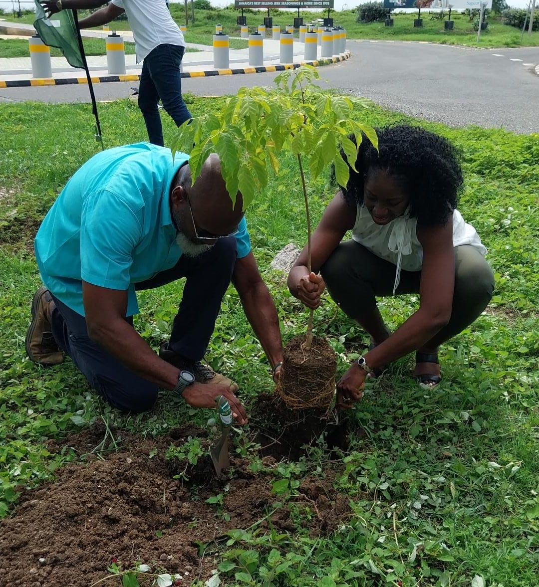
First boundary monument installed in area to be protected as Cockpit Country
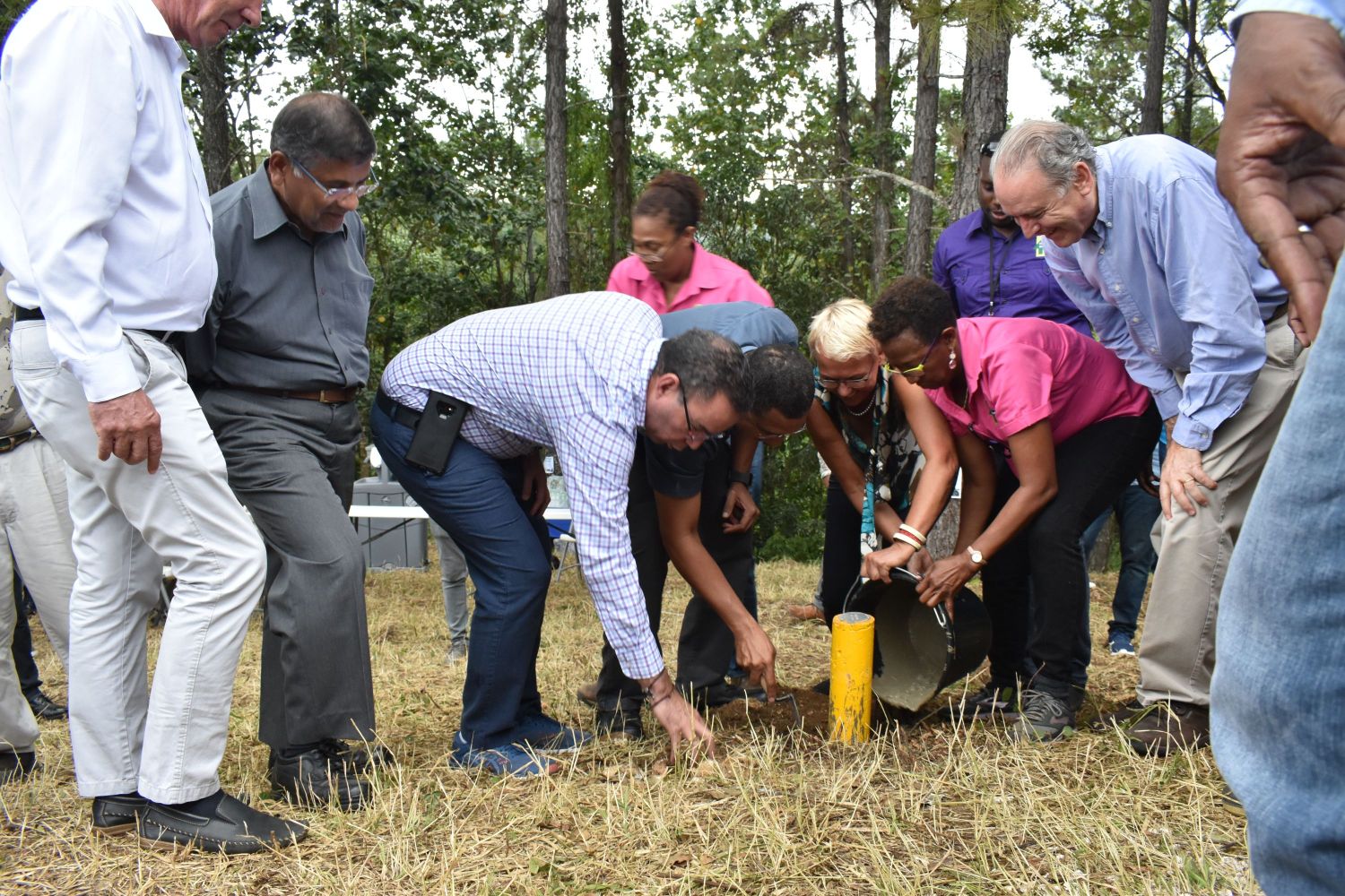
The first permanent
boundary monument, delineating the area to be declared protected as the Cockpit
Country has been installed by the Most Honourable Prime Minister and Ambassador
Malgorzata Wasilewska, the Head of the European Union Delegation to Jamaica.
The boundary marker was
planted during a tour of a section of the boundary in Tyre, Trelawny lead by
the Forestry Department, which included MHPM Holness, Ambassador Wasilewska,
the Ambassadors/High Commissioners from four (4) European Union member countries,
Hon. Daryl Vaz, Minister without Portfolio in the Ministry of Economic Growth
and Job Creation, and representatives from other key state entities. The tour
was held on June 5.
During a brief ceremony
before the permanent boundary planting, the Prime Minister again reiterated the
Government's commitment to protecting the valuable assets within this area.
“There is a certain level of protection. But you want to have explicit
protection particularly as it relates to where can be mined and where cannot be
mined. Government's commitment and declaration still stands. There will be no
mining in the area designated as the Cockpit Country protected area,” said
Prime Minister Holness at the ceremony.
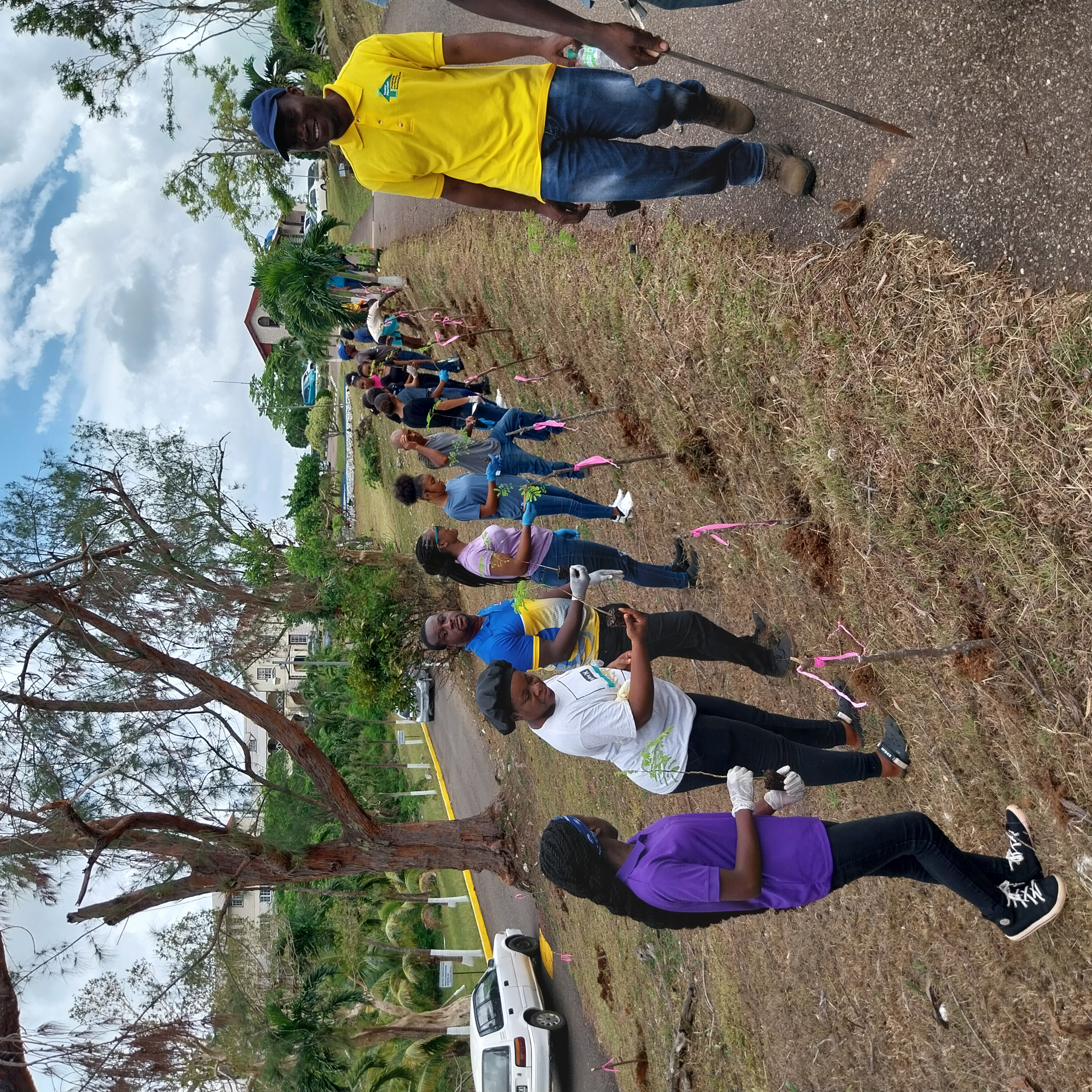
Following the laying of
the permanent boundary monument, the group was guided through the ground
truthing process for a section of the boundary. During this part of the
exercise, the contingent used GPS units to assist with verifying the boundary
on ground as seen on the map. Once the boundary is confirmed temporary markers
were installed by the team using stakes.
In November 2017, the
MHPM announced a new boundary for the area to be protected as the Cockpit
Country. The Forestry Department was tasked with the responsibility for
conducting the ground truthing exercise to verify the proposed boundary. “This
process commenced in the last financial year (2018/2019) and is estimated to be
completed in 2020. The ground truthing process is being funded under the
European Union's Budget Support Programme for the forest sector, which started
in June 2018,” Prime Minister Holness said.
The European Union, under its 11th European Development Fund, has committed $16.5 billion Euros over a four year period to the sector. The majority of this amount ($14 million Euros), will be used to assist in the implementation of the National Forest Management and Conservation Plan (NFMCP) 2016-2026.
The Boundary Verification
process explained
The newly announced area
to be declared protected in the Cockpit Country, as known by many, is a
boundary drawn on a map after several consultations with stakeholders
nationally that is to be established on the ground.
The first activity in
this boundary establishment initiative is the process of ground truthing. This
is, essentially, the process of verifying that what is on map is also what is
on ground. It is, therefore, important that we identify and traverse the lines
depicted as the boundary on map, on the ground.
In the process of
verification, once the location as seen on the map is found on ground, it is
observed and stored on a data collection device. The proposed line is then
manipulated to reflect, as best as possible, what is on ground, i.e. the
observed data.
Essentially, for the
process of boundary establishment for this purpose, there are three major steps
to follow:
1. Reconnaissance (all
preliminary survey or research) and Ground Truthing (on ground verification)
2. Marking: Boundary
markers are used to show the confines or the extent of a boundary. In the
preliminary stages of this boundary establishment, wooden stakes were used as
temporary markers to mark the proposed points along the proposed boundary.
These stakes will then be replaced by concrete monuments; a permanent and
well-defined form of marking.
3. Following this process is the Derivation of the coordinates of the monuments by way of utilizing varying survey techniques and instrumentation. (Theodolite Survey: Traversing; GNSS Survey: RTK, VRS, etc). This is the actual survey.
Fast Facts
·
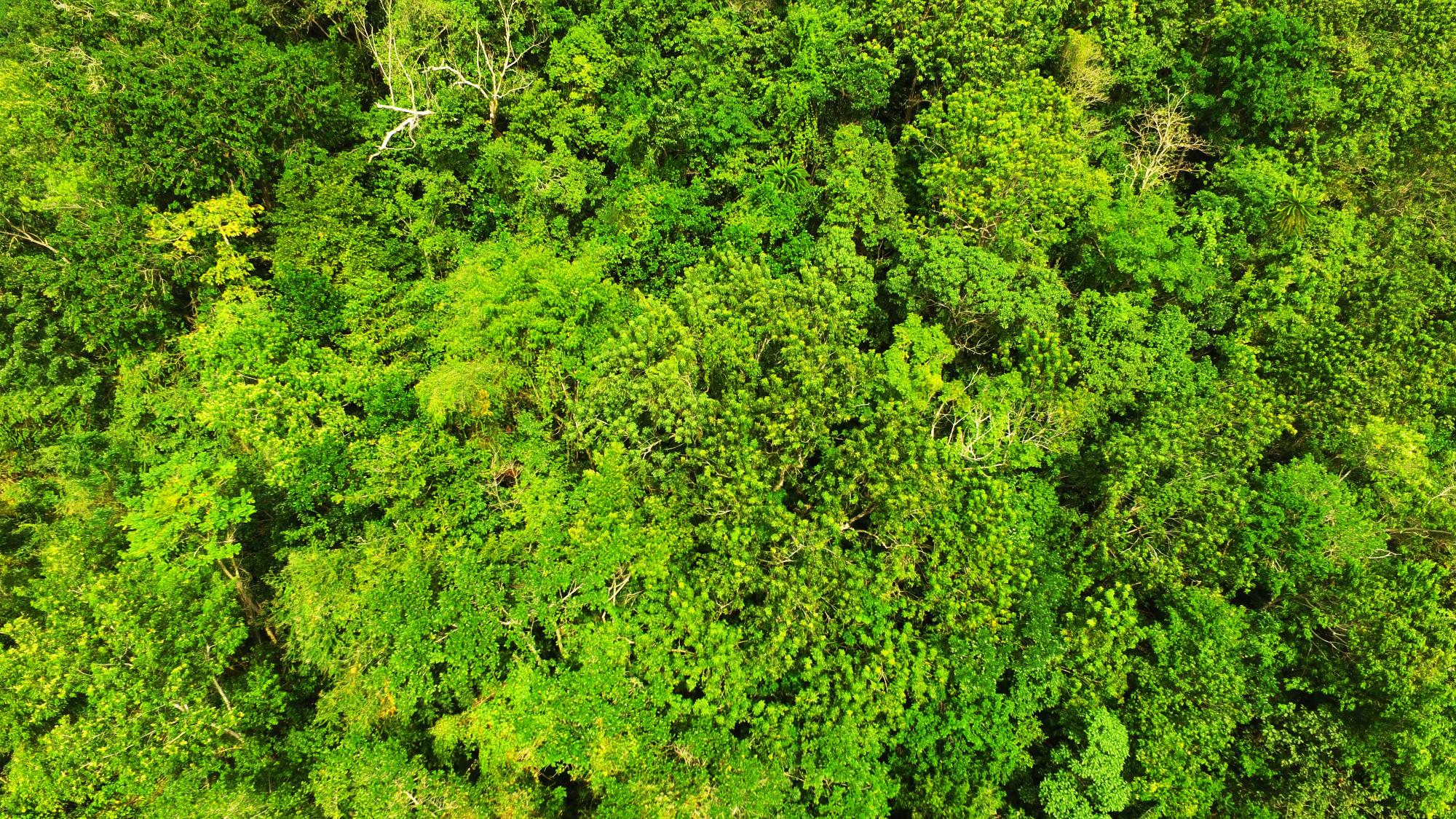
The land cover of the
area to be protected as the Cockpit Country represents 51% of the remaining
primary or Closed Broadleaf forest in Jamaica
·
It is home to over 1,500
species of plants and animals, some of which are endemic to the area
·
The proposed area to be
protected will cover just under 76,000 hectares, spanning 5 parishes
·
The majority of it is
already protected as Forest Reserve
·
The Cockpit Country
supplies Jamaica with approximately 40% of its fresh water and the area to be
protected supplies eight (8) rivers


