Nov 15, 2021
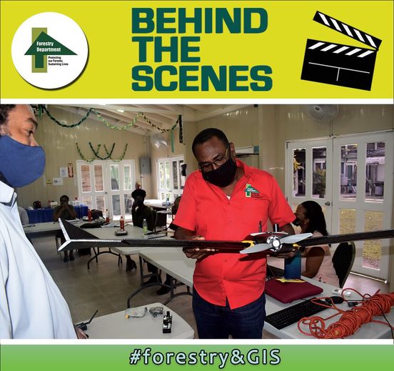
(GIS) Unit learn to assemble and operate drones
Members of the Agency’s Geographic Information Systems (GIS) Unit learn to assemble and operate the Sensefly eBeex fixed-wing drone unit, which the Forestry Department recently acquired to conduct forest mapping. As a scientific organisation, we embrace new technologies that will help us be more effective and efficient.