Jamaica's forest cover increases, quality decreases
The Forestry Department announced that even though there was a national increase in forest cover, there was significant reduction in the quality of forest cover across the island.
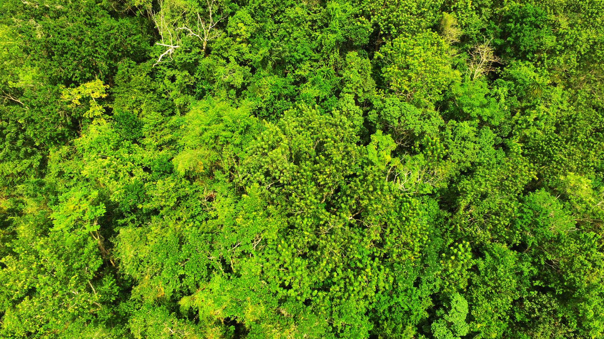
This finding was one of several that were announced at a press conference hosted by the Forestry Department at its head office in Kingston. “Forty (40) percent or 441,000 hectares of the island is now classified as forest. This is as a result of the Agency’s use of a more refined methodology based on improved technology and the availability of high resolution satellite imagery. This has allowed for better delineation of the forest cover,” said Minister Robert Pickersgill, Minister of Water, Land, Environment and Climate Change at the recent conference.
He also noted that there has been a steady increase in forest cover since 1998 when the last assessment was done. “There has been an overall increase in forest cover equivalent to 0.41 % or 1394 hectares annually. This increase was mainly due to conversion of non-forested land into secondary forests. If this trend continues we expect that in 10 to 15 years the secondary forests will result in a greater proportion of disturbed broadleaf forests,” Minister Pickersgill said.
He also was quick to note that all the quality of the forest cover in Jamaica has also declined. “On the other hand, our analysis has also found that there have been losses in the quality of forests, particularly the closed broadleaf and disturbed broadleaf forests, the open dry forests and swamp forests,” Minister Pickersgill said.
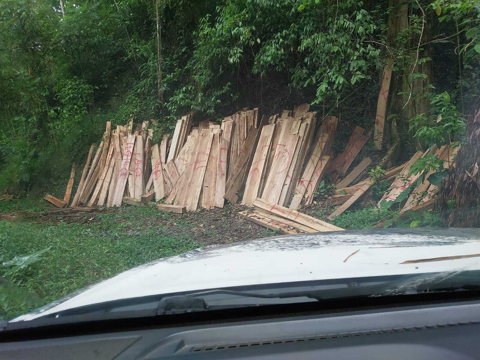
It was revealed at the press conference that a significant portion of the island’s forest cover has been lost due to conversion of the land to cultivation, buildings and other infrastructural developments.
The latest assessment also found that St. Ann, Hanover and Clarendon suffered the largest losses of forest cover while Manchester, St. Mary and St. Thomas saw the largest gains in forest cover over the period.


