Forestry Department now Assessing Mangrove and Swamp Forests Island Wide
The Forestry Department has commenced its
assessment of 7,000 hectares of mangrove forests across Jamaica as the Agency
moves to develop a plan to manage this resource by 2021.
The management of mangroves is new to the
Agency which is pursuing this activity with funding being provided to the
forest sector by the European Union under its Budget Support Programme. The
assessment and plan are also deliverables of the forest sector plan called the
National Forest Management and Conservation Plan (NFMCP).
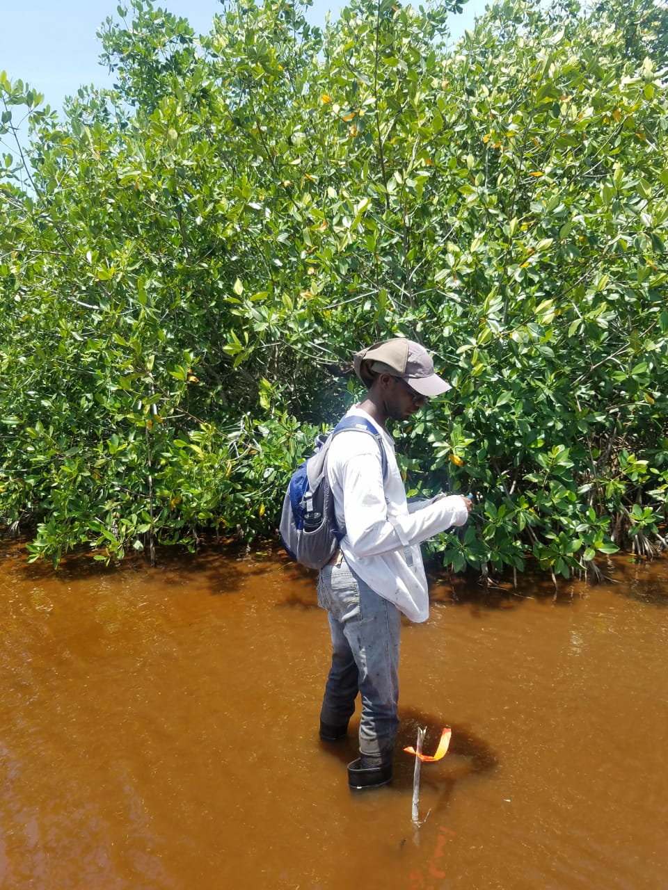
“The goal is to assess 7,000 hectares of
mangroves over the next three years. At
the end of April, we’ve assessed over 2,500 hectares so we are on track to meet
the target. We are finding patches of healthy mangroves that we didn’t know
existed and we are seeing firsthand how our mangroves are helping to keep our
beaches clean and are serving as a habitat for a number of marine life,” Mr.
Brahim Diop, Senior Research Officer and head of the Research Branch at the
Agency said.
He says that work has begun on the north-west
section of the island which covers the parishes of Trelawny, St. James and
Hanover as well as the south-east section covering Clarendon, St. Catherine,
St. Thomas, Kingston and St. Andrew.
The Forestry Department began it’s on the
ground assessment of mangrove forests in January 2019. Given that most swamp
forests are in close proximity to Mangrove forests the Agency will also use the
opportunity to assess the remaining swamp forests.
According to the NFMCP, a national mangrove
conservation plan is to be developed within the next four years. This plan will
set out the strategies and accompanying actions to conserve and protect the
remaining mangroves (private and public). To develop a practical mangrove
conservation plan, implementable by relevant stakeholders, the Forestry
Department will be collaborating with the National Environment and Planning
Agency (NEPA), and the University of the West Indies to develop the plan.
Ms. Donna Lowe, Senior Manager for the Forest
Science and Technology Services Division says the plan will provide a detailed
document on the distribution, assessment; management and analysis of these
forest cover classes to ensure their longevity and maintenance.
“This will also assist us in the process of
the transferring of Government-owned mangrove and swamp forest parcels outside
of our management responsibility from the National Land Agency to the Forestry
Department for protection, rehabilitation and management. Also, in addition to
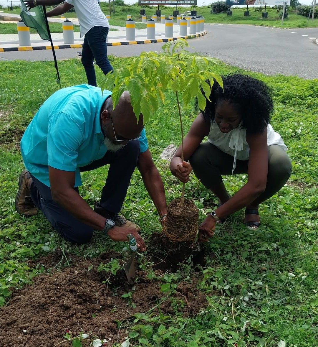
assessing and mapping what we currently have, we are also seeking to identify
suitable areas to restore mangrove forests to compensate for areas lost to
development which will eventually become habitat for species that have been
displaced,” Ms. Lowe said.
Ms. Lowe says this is even more critical with
the Climate Studies Group Mona projecting that there will be an increase in the
sea level in the region of 0.24 to 0.30 metres during the period 2046-2065.
“The projections of the Climate Studies Group
suggests that the impacts will not be felt before 2040 so given the relatively
slow rate of forest growth, this provides the country with a twenty-year
timeframe to take action, starting now, for the timely restoration of the
country’s mangroves which have been recommended as the more effective method of
shoreline protection,” she said.
Between 1998 and 2013, Jamaica has lost 2,123
hectares of mangrove and swamp forests, cumulatively. Mangroves and swamp forests provide several
economic benefits to communities, which in many cases are extracted at an
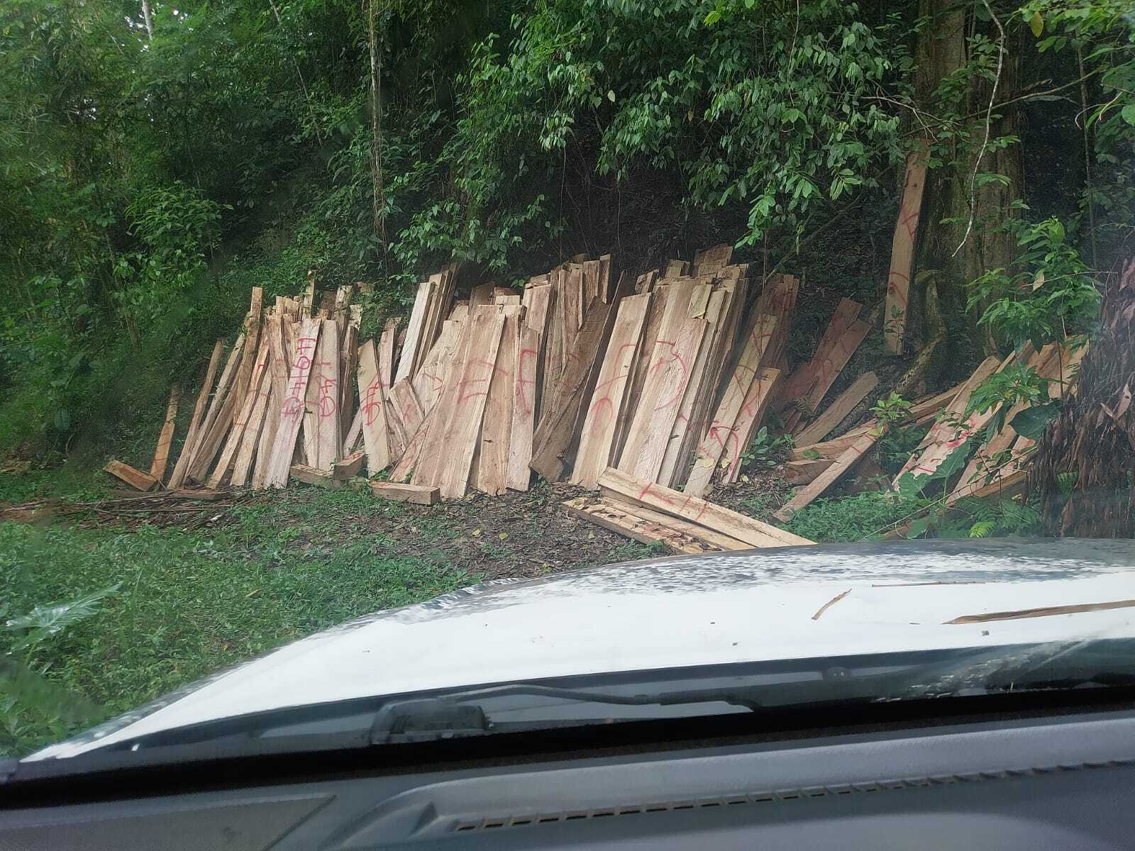
unsustainable rate for construction, for use as yam sticks, small-scale
farming, charcoal production and artisanal fish pots. In addition, mangroves
are threatened by permitted coastal development projects including housing
solutions as well as hotels and tourist attractions.


